Landscape planning

Managing landscape change for a better future.

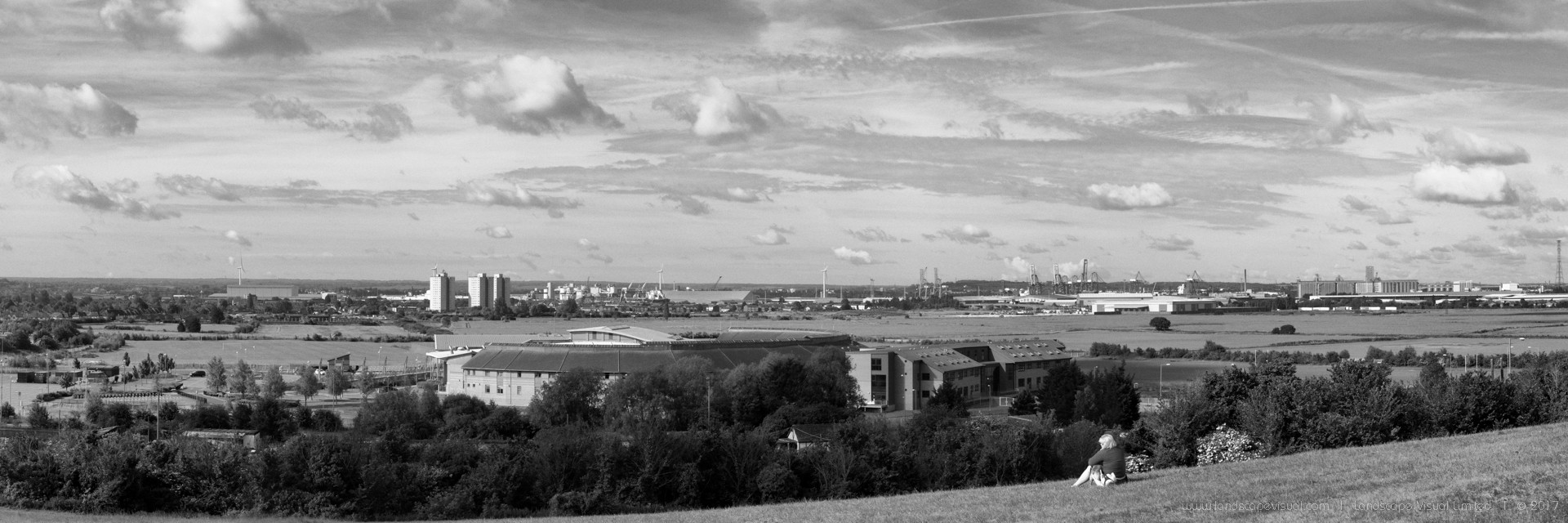
We are a registered landscape architecture practice that specialises in landscape planning and pre-planning landscape architecture.

We undertake landscape and visual assessments and appraisals for a wide range of development types, including residential, mixed-use and renewable energy. We provide mapping, photography and visualisations as part of our work.

We are often engaged at the site promotion stage to provide a landscape evidence base. Much of our work is connected to planning applications. We also work on planning appeals, including attending appeal hearings and giving expert evidence at planning inquiries.

Our core services are

  • Landscape and Visual Impact Assessment (LVIA)
  • Landscape and visual effects chapters for Environmental Statements (for EIA development)
  • Landscape and Visual Appraisal
  • Townscape and Visual Impact Assessment (TVIA)
  • Feasibility and capacity studies
  • Site promotion studies
  • Appeal work, including giving expert evidence at planning inquiries

Sectors

We work across the UK, with an extensive portfolio in the South East. We work across a range of sectors with projects in rural, urban and urban-fringe locations.

Residential and mixed-use development and regeneration

  • Urban extensions
  • Green belt release sites
  • Brownfield developments 

Renewable energy and infrastructure projects

  • Wind turbines and wind farms
  • Solar parks
  • Anaerobic digestion schemes

Leisure and tourism development

  • Resort developments 
  • Visitor attractions

Services

Assessment

Mapping

  • Geographic Information System (GIS) analysis
  • Zone of Theoretical Visibility (ZTV) plans  

Photography

Blog

Zone of theoretical visibility maps

Most landscape or townscape assessments will include Zone of Theoretical Visibility (ZTV) maps, which show the area from which an object could theoretically be seen. ZTVs are based on digital terrain models (DTMs). There are two principal types of ZTV: Bareground:...

Townscape assessment

This note gives a brief, non-technical overview of townscape character assessment and the role it plays in urban planning. Townscape character assessment (TCA) plays a key role in integrating urban development into its wider townscape context. It’s often important to...

Winter and Summer Views

Landscape and visual impact assessment (LVIA) can involve commentary on seasonal differences due to variation in leaf cover. In summer, vegetation in leaf can screen or filter views to a much greater degree than in winter. Where this is important, we may need to...

LVIA Photography

Photographs are used extensively in landscape / townscape and visual impact assessment (LVIA / TVIA). In baseline assessment (i.e. describing the existing landscape) photographs are normally used to illustrate the existing landscape character. Typically, an LVIA will...

Photomontages for LVIA and TVIA

Many Landscape or Townscape and Visual Impact Assessments (LVIAs / TVIAs) require photomontages as supporting material. This post introduces what is involved.   Overview of photomontages for LVIA Photomontages illustrate the location, size, degree of visibility...

An Overview of Landscape and Visual Impact Assessment

  This note gives a brief overview of landscape and visual impact assessment (LVIA). It is intended as a summary, non-technical introduction. Our LVIA work is undertaken in accordance with the relevant guidance on landscape and visual assessment. The overarching...

NPPF paragraph 170: ‘valued landscape’

Paragraph 170 of the NPPF states: ‘Planning policies and decisions should contribute to and enhance the natural and local environment by…protecting and enhancing valued landscapes…’We’ve had several projects recently where determining authorities have asserted that...

Pin It on Pinterest